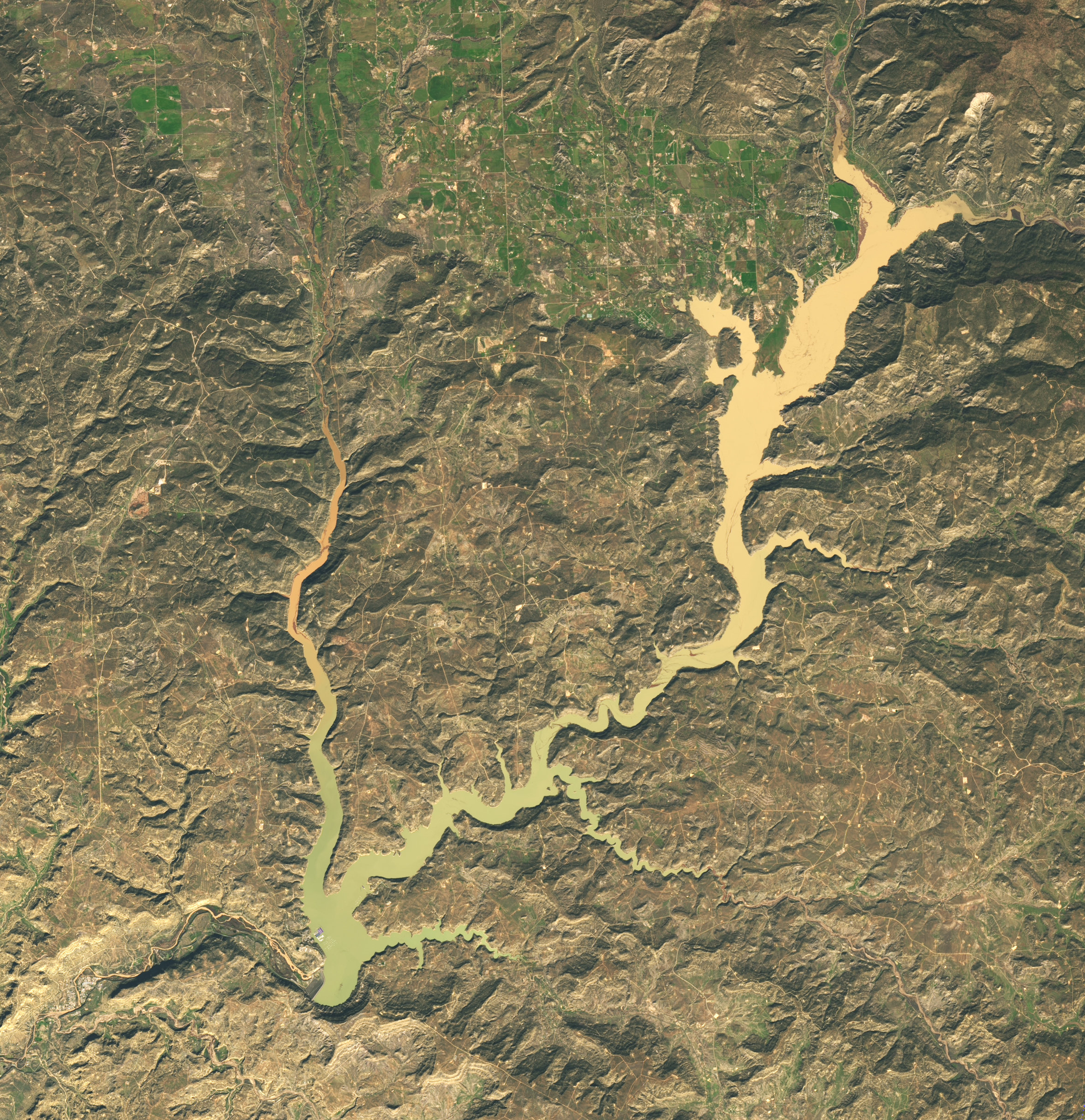
NASA Earth Observatory published Landsat 9 images on Nov. 11 showing Navajo Reservoir’s rapid rise after heavy autumn storms. U.S. Army Corps data cited by NASA show the reservoir gained nearly 60 feet between Sept. 20 and Nov. 7. On Nov. 7 it stood at its highest level since August 2019 and 108% of the average level for that date, compared with 60% on Sept. 20.
The storms eased short-term drought across parts of the Southwest but also drove damaging river floods. NASA says Pagosa Springs, Colorado, was especially hard hit; officials issued evacuation orders after the San Juan River rose again on Nov. 1, and responders rescued dozens of people, according to reporting cited by NASA. Longer-term drought remains in parts of the region.
The satellite comparison shows changing water extent; it does not by itself document flood damage on the ground.
Sources: NASA Earth Observatory (image and regional assessment): science.nasa.gov source ↗ ; U.S. Army Corps of Engineers Navajo Reservoir data: water.usace.army.mil source ↗ ; Associated Press, Nov. 3 flood-risk report: apnews.com source ↗.
Join the conversation.
No published comments yet. Share the first thoughtful response.
Share your view.
Comments are reviewed before publication. Keep the conversation relevant, civil, and focused on the reporting.